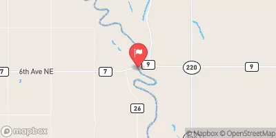
Streamflow discharge was last observed at 1,340 cfs, and a gauge height of 17.42 feet.
With the
% decrease since yesterday,
the streamflow average over the past 10 days is 1,734 .
Weather today, Tomorrow,
The river's flow is primarily influenced by snowmelt and precipitation. The river is fed by several tributaries, including the Sheyenne River, and is regulated by several dams, including the Baldhill Dam. The river's flow varies greatly throughout the year, with the highest flows occurring in the spring and the lowest flows in the fall. Interestingly, the Red River of the North is one of the few rivers in the world that flows northward. Overall, understanding the hydrology of the Red River of the North is important for managing water resources and mitigating flood risks in the region.
| Elevation | 804.0 ft |
| Last Updated | |
| Gage height, ft | 17.42 ft |
| Stream water level elevation above NAVD 1988, in ft | 797.21 ft |
| Streamflow, ft³/s | 1340.0 ft3/s |
| Percent of Normal | 35% |
| Year Over Year Average | 3,860 cfs |
| 24hr Flow Prediction | cfs |
| Maximum Recorded | 55,000 cfs |
| Geolocation | 47.76, -96.94 |