

Spring Creek At Zap, Nd Realtime Data
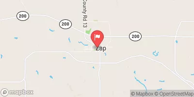
SPRING CREEK AT ZAP, ND
Realtime Data • Report • Conditions
6
Discharge (cfs)
4.7
Gauge Height (ft)
Streamflow discharge was last observed at 6 cfs, and a gauge height of 4.72 feet.
With the
% decrease since yesterday,
the streamflow average over the past 10 days is 9 .
Weather today, Tomorrow,
Flow providers include precipitation and runoff from surrounding agricultural land. The closest dam is approximately 20 miles upstream. Seasonal trends show higher flows in the spring due to snowmelt and increased precipitation, while summer and fall flows are lower. The hydrology of Spring Creek is interesting because it flows through a coal mining region, which may affect water quality. Additionally, the creek has been known to experience flash flooding during heavy rainfall events. Overall, the Spring Creek at Zap, ND stream gauge provides valuable data for monitoring water resources in the area.
October 23, 2026
| Elevation | 1,827.0 ft |
| Last Updated | |
| Gage height, ft | 4.72 ft |
| Streamflow, ft³/s | 6.11 ft3/s |
| Stream water level elevation above NAVD 1988, in ft | 1825.49 ft |
| Percent of Normal | 30% |
| Year Over Year Average | 20 cfs |
| 24hr Flow Prediction | cfs |
| Maximum Recorded | 2,690 cfs |
| Geolocation | 47.29, -101.93 |
 Continue with Snoflo Premium