

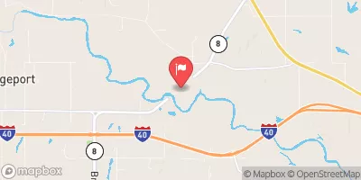
Canadian River At Bridgeport, Ok Realtime Data
CANADIAN RIVER AT BRIDGEPORT, OK
Realtime Data • Report • Conditions
178
Discharge (cfs)
10.2
Gauge Height (ft)
Streamflow discharge was last observed at 178 cfs, and a gauge height of 10.15 feet.
With the
% decrease since yesterday,
the streamflow average over the past 10 days is 6,862 .
Weather today, Tomorrow,
The river's main constituents include water from precipitation and groundwater sources. The Canadian River is fed by several tributaries, including the North Fork Canadian River and the Salt Fork Arkansas River. The river is also impacted by several dams along its course, such as the Canton Dam and the Foss Dam. During the summer months, the river experiences lower flows due to increased evaporation and higher demand for irrigation. However, during the winter and spring months, the river experiences higher flows due to increased precipitation and snowmelt. Interestingly, the Canadian River was named after the indigenous people who once lived along its banks, the Kanien'kehá:ka or Mohawk Nation.
October 22, 2026
| Elevation | 1,379.0 ft |
| Last Updated | |
| Gage height, ft | 10.15 ft |
| Streamflow, ft³/s | 178.0 ft3/s |
| Percent of Normal | 445% |
| Year Over Year Average | 40 cfs |
| 24hr Flow Prediction | cfs |
| Maximum Recorded | 56,100 cfs |
 Continue with Snoflo Premium