

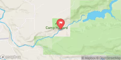
Bull Run River Near Bull Run, Or Realtime Data
BULL RUN RIVER NEAR BULL RUN, OR
Realtime Data • Report • Conditions
24
Discharge (cfs)
2.7
Gauge Height (ft)
Streamflow discharge was last observed at 24 cfs, and a gauge height of 2.68 feet.
With the
% decrease since yesterday,
the streamflow average over the past 10 days is 24 .
Weather today, Tomorrow,
The river is fed by several tributaries, including the Little Sandy River and the Salmon River. Bull Run River's flow is primarily regulated by the Bull Run Dam, which was built in the early 1900s. The river's water level fluctuates seasonally, with the highest flow occurring in the winter and spring months. Interestingly, the Bull Run River is also known for its recreational opportunities, such as fishing, hiking, and kayaking. However, visitors are required to obtain a permit from the city's Water Bureau due to the river's importance as a drinking water source.
October 14, 2026
| Elevation | 574.0 ft |
| Last Updated | |
| Gage height, ft | 2.68 ft |
| Streamflow, ft³/s | 24.0 ft3/s |
| Percent of Normal | 25% |
| Year Over Year Average | 97 cfs |
| 24hr Flow Prediction | cfs |
| Maximum Recorded | 15,200 cfs |
| Geolocation | 45.44, -122.18 |
 Continue with Snoflo Premium