Streamflow discharge was last observed at 59 cfs, and a gauge height of 4.30 feet.
With the
% decrease since yesterday,
the streamflow average over the past 10 days is 47 .
Weather today, Tomorrow,
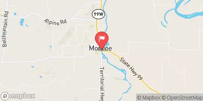
The river is primarily fed by rainfall, snowmelt, and groundwater, and is also influenced by several tributaries and dams in the area. Seasonal trends in the river flow are strongly influenced by precipitation patterns and snowmelt, with the highest flows typically occurring in late winter and early spring. Interestingly, the Long Tom River is home to several species of fish, including salmon and steelhead, that make their way upriver from the ocean to spawn. Overall, the Long Tom River at Monroe, OR stream gauge is an essential resource for monitoring the health and vitality of this important waterway.
| Elevation | 281.0 ft |
| Last Updated | |
| Gage height, ft | 4.3 ft |
| Temperature, water, °C | 23.6 deg C |
| Streamflow, ft³/s | 59.2 ft3/s |
| Percent of Normal | 151% |
| Year Over Year Average | 39 cfs |
| 24hr Flow Prediction | cfs |
| Maximum Recorded | 6,230 cfs |
| Geolocation | 44.31, -123.30 |