
* WHAT...Visibility one quarter mile or less in dense fog. * WHERE...Lowlands and Cascade Foothills of Lane County. * WHEN...Until 10 AM PDT this morning. * IMPACTS...Low visibility could make driving conditions hazardous.
Dense Fog Advisory
Until 2026-10-07T10:00:00-07:00
•
National Weather Service
* WHAT...Visibility one quarter mile or less in dense fog. * WHERE...Lowlands and Cascade Foothills of Lane County. * WHEN...Until 10 AM PDT this morning. * IMPACTS...Low visibility could make driving conditions hazardous.
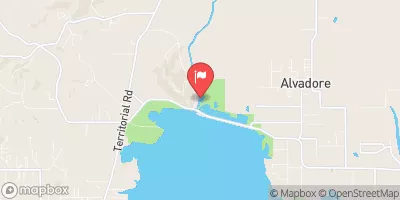
LONG TOM RIVER NEAR ALVADORE,OREG.
Realtime Data
•
Report
•
Conditions
67
Discharge (cfs)
1.8
Gauge Height (ft)
Streamflow discharge was last observed at 67 cfs, and a gauge height of 1.79 feet.
With the
% decrease since yesterday,
the streamflow average over the past 10 days is 69 .
Weather today, Tomorrow,
The main constituents that influence the river's flow are rainfall and snowmelt. The river has several tributaries, including Coyote Creek and Fern Ridge Reservoir. The river undergoes seasonal trends, with higher flows in the winter and spring due to increased precipitation and snowmelt. In contrast, the river experiences lower flows in the summer and fall. There are no dams on the Long Tom River. Interestingly, the river has a history of being dammed and drained for agricultural purposes, but restoration efforts have been successful in preserving its current state.