

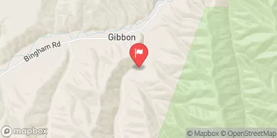
Meacham Creek At Gibbon, Or Realtime Data
MEACHAM CREEK AT GIBBON, OR
Realtime Data • Report • Conditions
10
Discharge (cfs)
3.7
Gauge Height (ft)
Streamflow discharge was last observed at 10 cfs, and a gauge height of 3.65 feet.
With the
% decrease since yesterday,
the streamflow average over the past 10 days is 10 .
Weather today, Tomorrow,
The streamgauge measures water flow, providing information to water managers and researchers. The watershed is fed by snowmelt, precipitation, and springs, and is impacted by dams on the Umatilla River. Seasonal trends include high flows in the spring due to snowmelt and increased precipitation, and lower flows in the summer and fall. Interesting facts about the hydrology include the potential for flash floods during intense rain events and the presence of steelhead trout in the Umatilla River. As a college student, understanding the hydrology of Meacham Creek at Gibbon, OR streamgauge can provide insight into the ecological and social impacts of water management in the region.
October 15, 2026
| Elevation | 1,808.0 ft |
| Last Updated | |
| Gage height, ft | 3.65 ft |
| Streamflow, ft³/s | 9.99 ft3/s |
| Percent of Normal | 68% |
| Year Over Year Average | 15 cfs |
| 24hr Flow Prediction | cfs |
| Maximum Recorded | 6,740 cfs |
| Geolocation | 45.69, -118.36 |
 Continue with Snoflo Premium