

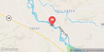
Middle Fork Willamette River Near Dexter, Oreg. Realtime Data
MIDDLE FORK WILLAMETTE RIVER NEAR DEXTER, OREG.
Realtime Data • Report • Conditions
1,240
Discharge (cfs)
2.8
Gauge Height (ft)
USGS 14150000
Streamflow discharge was last observed at 1,240 cfs, and a gauge height of 2.80 feet.
With the
% decrease since yesterday,
the streamflow average over the past 10 days is 1,255 .
Weather today, Tomorrow,
The primary constituents of the river are precipitation and snowmelt from the surrounding mountains. The river has several tributaries, including the Lost Creek and Whiskey Creek. There are no major dams on the river, although some small ones exist to divert water for irrigation. The river experiences higher flows in the spring due to snowmelt and lower flows in the summer and fall. One interesting fact is that the Middle Fork Willamette River is a popular spot for fishing, particularly for rainbow trout.
October 17, 2026
| Elevation | 620.0 ft |
| Last Updated | |
| Gage height, ft | 2.8 ft |
| Barometric pressure, mmHg | 751.0 mm/Hg |
| Streamflow, ft³/s | 1240.0 ft3/s |
| Dissolved oxygen, water, unfiltered, mg/L | 9.9 mg/l |
| Turbidity, water, unfiltered, monochrome near infra-red LED light, 780-900 nm, detection angle 90 ±2.5°, formazin nephelometric units (FNU) | 7.1 FNU |
| Total partial pressure of dissolved gases, water, unfiltered, percent of saturation | 105.0 % |
| Temperature, water, °C | 16.1 deg C |
| Total partial pressure of dissolved gases, water, unfiltered, mmHg | 788.0 mm/Hg |
| Percent of Normal | 78% |
| Year Over Year Average | 1,590 cfs |
| 24hr Flow Prediction | cfs |
| Maximum Recorded | 14,400 cfs |
| Geolocation | 43.95, -122.84 |
 Continue with Snoflo Premium