

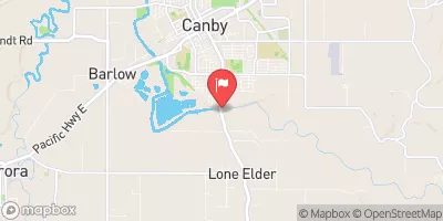
Molalla River Near Canby, Or Realtime Data
MOLALLA RIVER NEAR CANBY, OR
Realtime Data • Report • Conditions
53
Discharge (cfs)
8.8
Gauge Height (ft)
Streamflow discharge was last observed at 53 cfs, and a gauge height of 8.79 feet.
With the
% decrease since yesterday,
the streamflow average over the past 10 days is 56 .
Weather today, Tomorrow,
The river is fed by several tributaries, including Milk Creek and Bear Creek, and is affected by seasonal trends such as snowmelt and precipitation. The river flows through several dams, including the Table Rock and North Fork dams. Interesting facts about the hydrology of the Molalla River include its role as a popular recreational spot for fishing and rafting, as well as its designation as a Wild and Scenic River. College students studying hydrology or environmental science may be interested in studying the Molalla River's unique flow characteristics and its ecological importance in the region.
October 24, 2026
| Elevation | 109.0 ft |
| Last Updated | |
| Gage height, ft | 8.79 ft |
| Streamflow, ft³/s | 53.0 ft3/s |
| Temperature, water, °C | 11.7 deg C |
| Percent of Normal | 26% |
| Year Over Year Average | 205 cfs |
| 24hr Flow Prediction | cfs |
| Maximum Recorded | 22,600 cfs |
 Continue with Snoflo Premium