

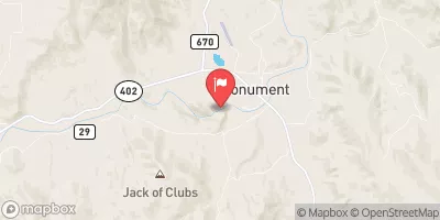
North Fork John Day River At Monument, Or Realtime Data
NORTH FORK JOHN DAY RIVER AT MONUMENT, OR
Realtime Data • Report • Conditions
63
Discharge (cfs)
2.3
Gauge Height (ft)
Streamflow discharge was last observed at 63 cfs, and a gauge height of 2.28 feet.
With the
% decrease since yesterday,
the streamflow average over the past 10 days is 66 .
Weather today, Tomorrow,
The river is primarily fed by snowmelt and precipitation, with some potential input from tributaries such as the Middle and South Forks. Seasonally, the river experiences peak flows in May and June due to snowmelt, followed by low flows in late summer and early fall. There are no major dams directly on the North Fork, but the river is part of the larger John Day River system which has several dams. The hydrology of the North Fork John Day River is unique due to the varied terrain and geological features, including deep canyons and volcanic rock formations.
October 10, 2026
| Elevation | 1,968.0 ft |
| Last Updated | |
| Gage height, ft | 2.28 ft |
| Streamflow, ft³/s | 62.8 ft3/s |
| Percent of Normal | 60% |
| Year Over Year Average | 105 cfs |
| 24hr Flow Prediction | cfs |
| Maximum Recorded | 24,300 cfs |
| Geolocation | 44.81, -119.43 |
 Continue with Snoflo Premium