

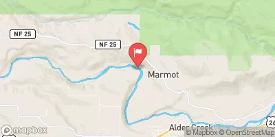
Sandy River Near Marmot, Or Realtime Data
SANDY RIVER NEAR MARMOT, OR
Realtime Data • Report • Conditions
201
Discharge (cfs)
689.6
Gauge Height (ft)
USGS 14137000
Streamflow discharge was last observed at 201 cfs, and a gauge height of 689.60 feet.
With the
% decrease since yesterday,
the streamflow average over the past 10 days is 212 .
Weather today, Tomorrow,
The river is fed by numerous tributaries, including the Bull Run River and the Zigzag River. There are several dams along the river, including the Bull Run Hydroelectric Project and the Marmot Dam. Seasonal trends show that water levels typically peak in the spring and drop in the summer and fall. Interestingly, the Sandy River is known for its unique underwater forest, which was formed by the eruption of Mount Hood thousands of years ago. The forest can be seen during low water levels.
October 9, 2026
| Elevation | 735.0 ft |
| Last Updated | |
| Gage height, ft | 689.6 ft |
| Streamflow, ft³/s | 201.0 ft3/s |
| Percent of Normal | 71% |
| Year Over Year Average | 286 cfs |
| 24hr Flow Prediction | cfs |
| Maximum Recorded | 36,500 cfs |
 Continue with Snoflo Premium