

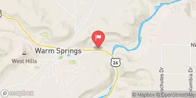
Shitike Creek Near Warm Springs, Or Realtime Data
SHITIKE CREEK NEAR WARM SPRINGS, OR
Realtime Data • Report • Conditions
40
Discharge (cfs)
2.9
Gauge Height (ft)
Streamflow discharge was last observed at 39 cfs, and a gauge height of 2.92 feet.
With the
% decrease since yesterday,
the streamflow average over the past 10 days is 39 .
Weather today, Tomorrow,
The stream gauge is maintained by the United States Geological Survey (USGS) and provides data on the creek's discharge, water temperature, and other parameters. The creek's flow is primarily driven by snowmelt in the spring and summer months, with lower flows in the fall and winter. The creek is impacted by a number of dams and diversions, including the Pelton-Round Butte Dam complex, which can affect the timing and magnitude of peak flows. One interesting fact about the Shitike Creek is that it is home to a population of endangered Middle Columbia River steelhead trout.
October 15, 2026
| Elevation | 1,396.0 ft |
| Last Updated | |
| Gage height, ft | 2.92 ft |
| Streamflow, ft³/s | 38.8 ft3/s |
| Percent of Normal | 76% |
| Year Over Year Average | 53 cfs |
| 24hr Flow Prediction | cfs |
| Maximum Recorded | 1,480 cfs |
| Geolocation | 44.76, -121.24 |
 Continue with Snoflo Premium