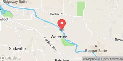
Streamflow discharge was last observed at 813 cfs, and a gauge height of 2.83 feet.
With the
% decrease since yesterday,
the streamflow average over the past 10 days is 912 .
Weather today, Tomorrow,
The primary constituents of the river's flow come from precipitation and snowmelt in the surrounding mountains. There are several tributaries that feed into the South Santiam River, including the Quartzville Creek, Crabtree Creek, and Soda Creek. The US Army Corps of Engineers maintains several dams on the river, including the Foster Dam and the Green Peter Dam. Seasonal trends in flow include peak flows during the spring snowmelt and lower flows in the summer months. An interesting fact about the South Santiam River is that it is a popular location for fishing, with several species of trout and salmon present in the river.
| Elevation | 378.0 ft |
| Last Updated | |
| Gage height, ft | 2.83 ft |
| Streamflow, ft³/s | 813.0 ft3/s |
| Dissolved oxygen, water, unfiltered, mg/L | 10.2 mg/l |
| Turbidity, water, unfiltered, monochrome near infra-red LED light, 780-900 nm, detection angle 90 ±2.5°, formazin nephelometric units (FNU) | 2.6 FNU |
| Temperature, water, °C | 15.3 deg C |
| Percent of Normal | 89% |
| Year Over Year Average | 922 cfs |
| 24hr Flow Prediction | cfs |
| Maximum Recorded | 25,200 cfs |