

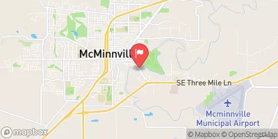
South Yamhill River At Mcminnville, Or Realtime Data
SOUTH YAMHILL RIVER AT MCMINNVILLE, OR
Realtime Data • Report • Conditions
36
Discharge (cfs)
9.3
Gauge Height (ft)
Streamflow discharge was last observed at 35 cfs, and a gauge height of 9.33 feet.
With the
% decrease since yesterday,
the streamflow average over the past 10 days is 36 .
Weather today, Tomorrow,
The river is primarily fed by precipitation, snowmelt, and groundwater, and is a tributary of the Yamhill River. There are no significant dams or tributaries in the immediate area. The river experiences seasonal variations in flow, with higher flows typically occurring in the winter and spring months due to increased precipitation and snowmelt. Interestingly, the South Yamhill River has been known to flood during periods of heavy rainfall. The streamgauge at McMinnville is an important tool for monitoring the river's flow and can help inform flood warnings and emergency responses.
October 15, 2026
| Elevation | 89.0 ft |
| Last Updated | |
| Gage height, ft | 9.33 ft |
| Streamflow, ft³/s | 35.4 ft3/s |
| Percent of Normal | 45% |
| Year Over Year Average | 81 cfs |
| 24hr Flow Prediction | cfs |
| Maximum Recorded | 24,400 cfs |
 Continue with Snoflo Premium