

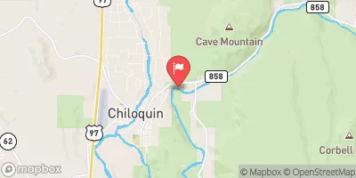
Sprague River Near Chiloquin, Or Realtime Data
SPRAGUE RIVER NEAR CHILOQUIN, OR
Realtime Data • Report • Conditions
179
Discharge (cfs)
1.5
Gauge Height (ft)
USGS 11501000
Streamflow discharge was last observed at 179 cfs, and a gauge height of 1.48 feet.
With the
% decrease since yesterday,
the streamflow average over the past 10 days is 181 .
Weather today, Tomorrow,
The river is fed by several tributaries, including Sycan River, which contributes a significant amount of water. There are no major dams on the Sprague River, but there are several small irrigation diversions. The flow of the river is highly seasonal, with peak flows occurring in late spring and early summer due to snowmelt. In the late summer and fall, flows decrease, and the river can dry up in certain areas. Interestingly, the Sprague River is home to a diverse array of fish species, including redband trout, bull trout, and chub.
October 9, 2026
| Elevation | 4,208.0 ft |
| Last Updated | |
| Gage height, ft | 1.48 ft |
| Streamflow, ft³/s | 179.0 ft3/s |
| Specific conductance, water, unfiltered, microsiemens per centimeter at 25°C | 95.0 uS/cm @25C |
| Turbidity, water, unfiltered, monochrome near infra-red LED light, 780-900 nm, detection angle 90 ±2.5°, formazin nephelometric units (FNU) | 1.4 FNU |
| Temperature, water, °C | 14.9 deg C |
| Suspended sediment concentration, water, unfiltered, estimated by regression equation, mg/L | 2.1 mg/l |
| Percent of Normal | 92% |
| Year Over Year Average | 195 cfs |
| 24hr Flow Prediction | cfs |
| Maximum Recorded | 4,910 cfs |
 Continue with Snoflo Premium