* WHAT...Visibility one quarter mile or less in dense fog.
* WHERE...Benton County Lowlands, Lane County Lowlands, and Linn
County Lowlands.
* WHEN...Until 10 AM PST this morning.
* IMPACTS...Low visibility could make driving conditions hazardous.
Dense Fog Advisory
Until 2026-11-04T10:00:00-08:00
•
National Weather Service
* WHAT...Visibility one quarter mile or less in dense fog.
* WHERE...Benton County Lowlands, Lane County Lowlands, and Linn
County Lowlands.
* WHEN...Until 10 AM PST this morning.
* IMPACTS...Low visibility could make driving conditions hazardous.
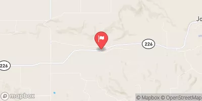
THOMAS CREEK NEAR SCIO, OR
Realtime Data
•
Report
•
Conditions
47
Discharge (cfs)
4.2
Gauge Height (ft)
Streamflow discharge was last observed at 30 cfs, and a gauge height of 4.22 feet.
With the
% decrease since yesterday,
the streamflow average over the past 10 days is 67 .
Weather today, Tomorrow,
The creek has several potential tributaries and dams that could affect its flow, including the North and South Santiam Rivers and the Upper Santiam and Detroit Dams. In general, the creek experiences higher flows during the wet winter months and lower flows in the dry summer months. Interestingly, the Thomas Creek watershed is home to several endangered species, including the Oregon chub and the Fender's blue butterfly. The hydrology of the Thomas Creek is important both for ecological conservation and for water resource management in the region.