

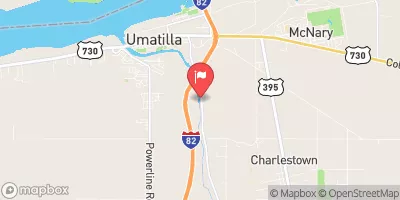
Umatilla River Near Umatilla, Or Realtime Data
UMATILLA RIVER NEAR UMATILLA, OR
Realtime Data • Report • Conditions
202
Discharge (cfs)
2.8
Gauge Height (ft)
Streamflow discharge was last observed at 202 cfs, and a gauge height of 2.84 feet.
With the
% decrease since yesterday,
the streamflow average over the past 10 days is 152 .
Weather today, Tomorrow,
The river is a major tributary of the Columbia River and its flow is mainly fed by snowmelt in the spring and summer. The river also receives water from several other tributaries, including the North Fork Umatilla River, the South Fork Umatilla River, and Meacham Creek. There are several dams on the river, including the McKay Dam and the Wildhorse Dam. Seasonally, the river experiences low flow in the late summer and early fall, while the winter months see higher flows due to precipitation. Interestingly, the Umatilla River was named after the Umatilla Native American tribe and was once a popular spot for gold mining during the 19th century.
October 22, 2026
| Elevation | 336.0 ft |
| Last Updated | |
| Gage height, ft | 2.84 ft |
| Streamflow, ft³/s | 202.0 ft3/s |
| Temperature, water, °C | 11.4 deg C |
| Percent of Normal | 86% |
| Year Over Year Average | 236 cfs |
| 24hr Flow Prediction | cfs |
| Maximum Recorded | 16,500 cfs |
 Continue with Snoflo Premium