* WHAT...Visibility one quarter mile or less in dense fog.
* WHERE...Benton County Lowlands, Lane County Lowlands, and Linn
County Lowlands.
* WHEN...Until 10 AM PST this morning.
* IMPACTS...Low visibility could make driving conditions hazardous.
Dense Fog Advisory
Until 2026-11-04T10:00:00-08:00
•
National Weather Service
* WHAT...Visibility one quarter mile or less in dense fog.
* WHERE...Benton County Lowlands, Lane County Lowlands, and Linn
County Lowlands.
* WHEN...Until 10 AM PST this morning.
* IMPACTS...Low visibility could make driving conditions hazardous.
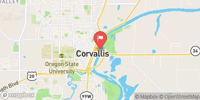
WILLAMETTE RIVER AT CORVALLIS
Realtime Data
•
Report
•
Conditions
4,940
Discharge (cfs)
10.5
Gauge Height (ft)
Streamflow discharge was last observed at 5,030 cfs, and a gauge height of 10.48 feet.
With the
% decrease since yesterday,
the streamflow average over the past 10 days is 5,128 .
Weather today, Tomorrow,
The Willamette River is one of the largest watersheds in the Pacific Northwest, covering 11,500 square miles and serving as a vital source of drinking water, irrigation, and recreation. The river is fed by numerous tributaries, including the Marys and Santiam Rivers, and is impacted by a number of dams, including the Foster and Green Peter Dams. Seasonal trends show increased flow during the winter and spring months due to precipitation and snowmelt. Interesting hydrology facts about the Willamette River include its important role in salmon migration and its connection to the history of the Oregon Trail.