

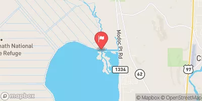
Wood River Near Klamath Agency Realtime Data
WOOD RIVER NEAR KLAMATH AGENCY
Realtime Data • Report • Conditions
298
Discharge (cfs)
0.7
Gauge Height (ft)
Streamflow discharge was last observed at 298 cfs, and a gauge height of 0.73 feet.
With the
% decrease since yesterday,
the streamflow average over the past 10 days is 306 .
Weather today, Tomorrow,
The primary constituents of the flow are snowmelt and groundwater. The river is relatively free-flowing within its watershed, with no major dams or diversions. During the summer months, flows can be low due to decreased snowmelt and increased water usage for agriculture. In the fall and winter, flows increase due to precipitation. The hydrology of the Wood River is interesting because it is home to several species of fish, including the endangered Lost River and shortnose suckers, which are dependent on the river's unique hydrology for their survival.
October 14, 2026
| Elevation | 4,146.0 ft |
| Last Updated | |
| Mean water velocity for discharge computation, feet per second | 1.3 ft/sec |
| Gage height, ft | 0.73 ft |
| Streamflow, ft³/s | 298.0 ft3/s |
| Specific conductance, water, unfiltered, microsiemens per centimeter at 25°C | 98.0 uS/cm @25C |
| Turbidity, water, unfiltered, monochrome near infra-red LED light, 780-900 nm, detection angle 90 ±2.5°, formazin nephelometric units (FNU) | 2.7 FNU |
| Temperature, water, °C | 7.6 deg C |
| Percent of Normal | 88% |
| Year Over Year Average | 340 cfs |
| 24hr Flow Prediction | cfs |
| Maximum Recorded | 734 cfs |
 Continue with Snoflo Premium