

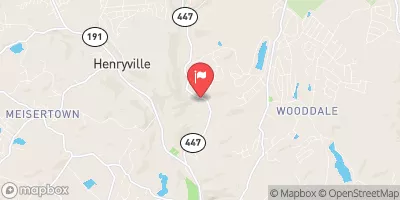
Brodhead Creek Near Analomink, Pa Realtime Data
BRODHEAD CREEK NEAR ANALOMINK, PA
Realtime Data • Report • Conditions
22
Discharge (cfs)
1.6
Gauge Height (ft)
Streamflow discharge was last observed at 22 cfs, and a gauge height of 1.60 feet.
With the
% decrease since yesterday,
the streamflow average over the past 10 days is 28 .
Weather today, Tomorrow,
The creek is primarily fed by groundwater and precipitation, and its flow is influenced by seasonal trends. During the summer months, the flow is typically low and consistent due to reduced precipitation, while in the spring and fall, there can be significant fluctuations due to rain events. There are several dams located along the creek, including the Brodhead Creek Dam in East Stroudsburg. The creek is known for its excellent fishing opportunities, particularly for trout, and is a popular destination for anglers. Additionally, the creek is home to a variety of wildlife, including beavers, muskrats, and great blue herons.
October 9, 2026
| Elevation | 592.0 ft |
| Last Updated | |
| Gage height, ft | 1.6 ft |
| Stream water level elevation above NAVD 1988, in ft | 587.38 ft |
| Streamflow, ft³/s | 21.6 ft3/s |
| Specific conductance, water, unfiltered, microsiemens per centimeter at 25°C | 97.0 uS/cm @25C |
| Temperature, water, °C | 11.8 deg C |
| Percent of Normal | 30% |
| Year Over Year Average | 72 cfs |
| 24hr Flow Prediction | cfs |
| Maximum Recorded | 4,710 cfs |
 Continue with Snoflo Premium