

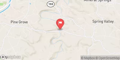
Clearfield Creek At Dimeling, Pa Realtime Data
CLEARFIELD CREEK AT DIMELING, PA
Realtime Data • Report • Conditions
272
Discharge (cfs)
3.7
Gauge Height (ft)
Streamflow discharge was last observed at 272 cfs, and a gauge height of 3.67 feet.
With the
% decrease since yesterday,
the streamflow average over the past 10 days is 377 .
Weather today, Tomorrow,
Its flow providers are mostly affected by precipitation and snowmelt, while land use changes can also impact water quality. The creek has various tributaries, including Anderson Creek and Moshannon Creek, and its flow is regulated by the Curwensville Dam. The streamgauge data shows seasonal trends, with highest flows occurring in the spring due to snowmelt and lower flows in the summer and fall. Interesting facts about the hydrology of the Clearfield Creek include the presence of acid mine drainage from abandoned coal mines, which can impact water quality and aquatic life.
October 24, 2026
| Elevation | 1,152.0 ft |
| Last Updated | |
| Gage height, ft | 3.67 ft |
| Streamflow, ft³/s | 272.0 ft3/s |
| Stream water level elevation above NAVD 1988, in ft | 1149.23 ft |
| Percent of Normal | 266% |
| Year Over Year Average | 102 cfs |
| 24hr Flow Prediction | cfs |
| Maximum Recorded | 13,400 cfs |
| Geolocation | 40.97, -78.41 |
 Continue with Snoflo Premium