

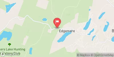
Little Bush Kill At Edgemere Realtime Data
LITTLE BUSH KILL AT EDGEMERE
Realtime Data • Report • Conditions
2
Discharge (cfs)
4.4
Gauge Height (ft)
USGS 01439590
Streamflow discharge was last observed at 2 cfs, and a gauge height of 4.43 feet.
With the
% decrease since yesterday,
the streamflow average over the past 10 days is 2 .
Weather today, Tomorrow,
It has no major tributaries or dams in its immediate vicinity. Seasonal trends see peak flows in the spring and early summer due to snowmelt and rainfall, while low flows occur in the late summer and fall. Interestingly, the stream gauge has experienced unusually high flows during periods of heavy rainfall, which is likely due to the area's geology and topography. Overall, the Little Bush Kill stream gauge provides valuable data for hydrologists and water resource managers in the area.
October 9, 2026
| Elevation | 1,272.0 ft |
| Last Updated | |
| Gage height, ft | 4.43 ft |
| Stream water level elevation above NAVD 1988, in ft | 1271.13 ft |
| Streamflow, ft³/s | 1.51 ft3/s |
| Percent of Normal | 29% |
| Year Over Year Average | 5 cfs |
| 24hr Flow Prediction | cfs |
| Maximum Recorded | 339 cfs |
| Geolocation | 41.26, -75.00 |
 Continue with Snoflo Premium