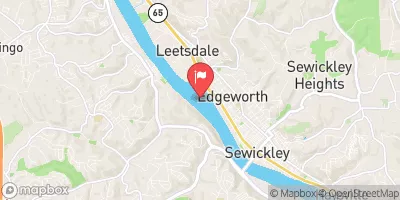
Streamflow discharge was last observed at 20,400 cfs, and a gauge height of 14.74 feet.
With the
% decrease since yesterday,
the streamflow average over the past 10 days is 18,810 .
Weather today, Tomorrow,
The Ohio River is formed by the confluence of the Allegheny and Monongahela Rivers in Pittsburgh, PA. It is a major source of drinking water and agricultural irrigation for millions of people in the Midwest and South. The river is regulated by several dams, including the Emsworth Dam just upstream from the Sewickley gauge. Seasonal trends in flow are influenced by precipitation and snowmelt. In winter and spring, flows tend to be higher due to increased precipitation and melting snow. In summer and fall, flows tend to be lower due to decreased precipitation and drier weather. Interesting facts about the Ohio River include its role in the Underground Railroad, its status as the most polluted river in the United States in the 1950s and 1960s, and its important role in the transportation of goods and people during the 19th century.
| Elevation | 690.0 ft |
| Last Updated | |
| Gage height, ft | 14.74 ft |
| Streamflow, ft³/s | 20400.0 ft3/s |
| Stream water level elevation above NAVD 1988, in ft | 694.31 ft |
| Percent of Normal | 174% |
| Year Over Year Average | 11,700 cfs |
| 24hr Flow Prediction | cfs |
| Maximum Recorded | 257,000 cfs |