 Get More With Premium


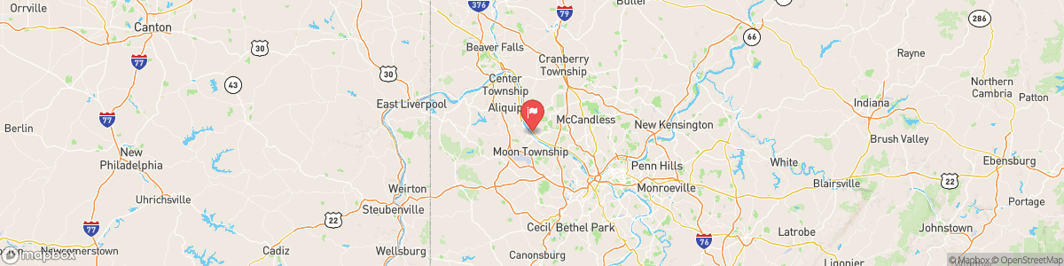
OHIO RIVER AT SEWICKLEY
USGS 03086000
FREEZE WATCH
* WHAT...Sub-freezing temperatures as low as 30 possible. * WHERE...Portions of east central Ohio, northwest, southwest, and western Pennsylvania, and northern and the northern panhandle of West Virginia. * WHEN...From late Saturday night through Sunday morning. * IMPACTS...Frost and freeze conditions could kill crops, other sensitive vegetation and possibly damage unprotected outdoor plumbing.

Today, Scattered showers and thunderstorms, mainly before 4am. Mostly cloudy, with a low around 61. South wind around 10 mph, with gusts as high as 24 mph. Chance of precipitation is 50%. New rainfall amounts of less than a tenth of an inch, except higher amounts possible in thunderstorms.
Tomorrow, Scattered showers and thunderstorms, mainly before 4am. Mostly cloudy, with a low around 61. South wind around 10 mph, with gusts as high as 24 mph. Chance of precipitation is 50%. New rainfall amounts of less than a tenth of an inch, except higher amounts possible in thunderstorms.
5-Day Forecast
Long Term Forecast
16-Day Forecast

