

West Branch Brandywine Creek Near Honey Brook, Pa Realtime Data
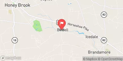
WEST BRANCH BRANDYWINE CREEK NEAR HONEY BROOK, PA
Realtime Data • Report • Conditions
12
Discharge (cfs)
1.0
Gauge Height (ft)
USGS 01480300
Streamflow discharge was last observed at 12 cfs, and a gauge height of 1.03 feet.
With the
% decrease since yesterday,
the streamflow average over the past 10 days is 13 .
Weather today, Tomorrow,
The flow of the creek is affected by rainfall and snowmelt, as well as by water withdrawals for human use. There are several dams along the creek, including the Chambers Lake Dam and the Hibernia Dam, which can affect flow and water quality. Seasonally, the creek experiences high flow in the spring due to snowmelt and rainfall, and lower flow in the summer and fall. One quirky fact is that the creek is known for its excellent trout fishing.
October 9, 2026
| Elevation | 601.0 ft |
| Last Updated | |
| Gage height, ft | 1.03 ft |
| Stream water level elevation above NAVD 1988, in ft | 592.33 ft |
| Streamflow, ft³/s | 12.2 ft3/s |
| Turbidity, water, unfiltered, monochrome near infra-red LED light, 780-900 nm, detection angle 90 ±2.5°, formazin nephelometric units (FNU) | 5.5 FNU |
| Suspended sediment load, water, unfiltered, computed, the product of regression-computed suspended sediment concentration and streamflow, tons per day | 0.491 tons/day |
| Suspended sediment concentration, water, unfiltered, estimated by regression equation, mg/L | 12.2 mg/l |
| Percent of Normal | 110% |
| Year Over Year Average | 11 cfs |
| 24hr Flow Prediction | cfs |
| Maximum Recorded | 2,400 cfs |
| Geolocation | 40.07, -75.86 |
 Continue with Snoflo Premium