

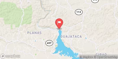
Canal Diversion Lago Guajataca, Pr Realtime Data
CANAL DIVERSION LAGO GUAJATACA, PR
Realtime Data • Report • Conditions
50
Discharge (cfs)
3.3
Gauge Height (ft)
USGS 50011000
Streamflow discharge was last observed at 50 cfs, and a gauge height of 3.25 feet.
With the
% decrease since yesterday,
the streamflow average over the past 10 days is 51 .
Weather today, Tomorrow,
The river is fed by several tributaries, including the Caonillas River and the Tanamá River. The Guajataca Dam, which creates the Lago Guajataca reservoir, is a major source of water for the area. Seasonal trends show higher flow during the rainy season, while the dry season can lead to low or no flow. The hydrology of the area is important for agriculture, tourism, and recreation, and the Guajataca River is also a popular spot for kayaking and other outdoor activities.
October 8, 2026
| Elevation | 661.0 ft |
| Last Updated | |
| Gage height, ft | 3.25 ft |
| Stream water level elevation above Puerto Rico Datum of 2002, feet | 591.94 ft |
| Streamflow, ft³/s | 50.0 ft3/s |
| Percent of Normal | 78% |
| Year Over Year Average | 64 cfs |
| 24hr Flow Prediction | cfs |
| Maximum Recorded | 86 cfs |
| Geolocation | 18.40, -66.92 |
 Continue with Snoflo Premium