

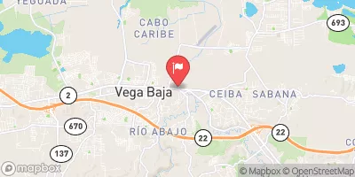
Rio Cibuco At Vega Baja, Pr Realtime Data
RIO CIBUCO AT VEGA BAJA, PR
Realtime Data • Report • Conditions
38
Discharge (cfs)
4.4
Gauge Height (ft)
Streamflow discharge was last observed at 38 cfs, and a gauge height of 4.37 feet.
With the
% decrease since yesterday,
the streamflow average over the past 10 days is 55 .
Weather today, Tomorrow,
The main flow providers are rainfall events and groundwater discharge from the karstic aquifer. There are no major tributaries or dams in the area. The hydrology of the stream is affected by seasonal trends, with high flow during the rainy season and low flow during the dry season. Interestingly, the stream has been known to experience sudden flash floods during heavy rainfall events, posing a potential danger to nearby communities. Overall, the Rio Cibuco at Vega Baja, PR streamgauge is an important tool for monitoring water resources in a unique tropical environment.
October 8, 2026
| Elevation | 21.0 ft |
| Last Updated | |
| Gage height, ft | 4.37 ft |
| Streamflow, ft³/s | 38.4 ft3/s |
| Stream water level elevation above Puerto Rico Datum of 2002, feet | 11.19 ft |
| Percent of Normal | 29% |
| Year Over Year Average | 137 cfs |
| 24hr Flow Prediction | cfs |
| Maximum Recorded | 34,300 cfs |
| Geolocation | 18.45, -66.37 |
 Continue with Snoflo Premium