

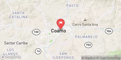
Rio Coamo At Hwy 14 At Coamo, Pr Realtime Data
RIO COAMO AT HWY 14 AT COAMO, PR
Realtime Data • Report • Conditions
4
Discharge (cfs)
4.6
Gauge Height (ft)
Streamflow discharge was last observed at 4 cfs, and a gauge height of 4.61 feet.
With the
% decrease since yesterday,
the streamflow average over the past 10 days is 4 .
Weather today, Tomorrow,
The river is a part of the Coamo River Basin, which covers an area of 206 square kilometers. There are no major tributaries or dams in the immediate vicinity of the streamgauge. The seasonal trends show high water flows during the rainy season, which lasts from May to November, and lower flows during the dry season. The hydrology of this area is influenced by the karst topography, which is characterized by limestone formations that allow water to flow underground. A quirky fact about the river is that it is believed to have healing properties due to its high mineral content, and people have been visiting the area for centuries to bathe in its waters.
October 11, 2026
| Elevation | 342.0 ft |
| Last Updated | |
| Stream water level elevation above Puerto Rico Datum of 2002, feet | 329.3 ft |
| Gage height, ft | 4.61 ft |
| Precipitation, total, in | 0.0 in |
| Streamflow, ft³/s | 3.72 ft3/s |
| Percent of Normal | 16% |
| Year Over Year Average | 24 cfs |
| 24hr Flow Prediction | cfs |
| Maximum Recorded | 2,790 cfs |
| Geolocation | 18.08, -66.35 |
 Continue with Snoflo Premium