

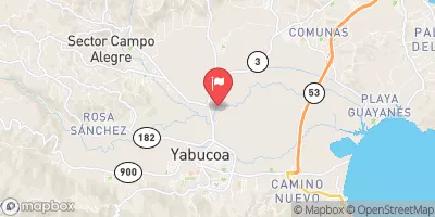
Rio Guayanes At Central Roig, Pr Realtime Data
RIO GUAYANES AT CENTRAL ROIG, PR
Realtime Data • Report • Conditions
74
Discharge (cfs)
13.6
Gauge Height (ft)
Streamflow discharge was last observed at 74 cfs, and a gauge height of 13.56 feet.
With the
% decrease since yesterday,
the streamflow average over the past 10 days is 41 .
Weather today, Tomorrow,
Its main flow providers are rainfall and runoff, while potential tributaries include the Rio Portugues and Rio Bucana. However, specific dams were not mentioned. During the rainy season, the flow rate can increase significantly, while during the dry season, it can decrease to a trickle. Interestingly, the hydrology of the Rio Guayanes is affected by the karst topography of the region, which creates underground waterways and sinkholes. Overall, the Rio Guayanes is an important hydrological feature in the region that highlights the impact of geography on water systems.
October 8, 2026
| Elevation | 34.0 ft |
| Last Updated | |
| Gage height, ft | 13.56 ft |
| Stream water level elevation above Puerto Rico Datum of 2002, feet | 26.09 ft |
| Streamflow, ft³/s | 73.8 ft3/s |
| Percent of Normal | 113% |
| Year Over Year Average | 65 cfs |
| 24hr Flow Prediction | cfs |
| Maximum Recorded | 3,070 cfs |
| Geolocation | 18.06, -65.87 |
 Continue with Snoflo Premium