

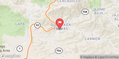
Rio Majada At La Plena, Pr Realtime Data
RIO MAJADA AT LA PLENA, PR
Realtime Data • Report • Conditions
21
Discharge (cfs)
3.4
Gauge Height (ft)
Streamflow discharge was last observed at 21 cfs, and a gauge height of 3.40 feet.
With the
% decrease since yesterday,
the streamflow average over the past 10 days is 7 .
Weather today, Tomorrow,
The streamgauge measures the flow of water in the Rio Majada River, which is a 17-mile long river that flows into the Caribbean Sea. The river's watershed covers an area of 25 square miles, and the main flow provider is rainfall. The Rio Grande de Añasco is a tributary of the Rio Majada. The river exhibits seasonal variability, with higher flows during the rainy season, which occurs from May to November. The highest flow ever recorded at the streamgauge was 1,880 cubic feet per second (cfs) on September 22, 2004, during Hurricane Jeanne. The streamgauge also monitors water quality parameters, including temperature, pH, and dissolved oxygen.
October 8, 2026
| Elevation | 422.0 ft |
| Last Updated | |
| Gage height, ft | 3.4 ft |
| Streamflow, ft³/s | 20.9 ft3/s |
| Stream water level elevation above Puerto Rico Datum of 2002, feet | 410.12 ft |
| Percent of Normal | 814% |
| Year Over Year Average | 3 cfs |
| 24hr Flow Prediction | cfs |
| Maximum Recorded | 2,700 cfs |
| Geolocation | 18.04, -66.21 |
 Continue with Snoflo Premium