

Rio Tanama At Charco Hondo, Pr Realtime Data
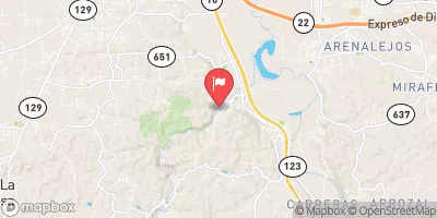
RIO TANAMA AT CHARCO HONDO, PR
Realtime Data • Report • Conditions
60
Discharge (cfs)
3.4
Gauge Height (ft)
USGS 50028400
Streamflow discharge was last observed at 60 cfs, and a gauge height of 3.43 feet.
With the
% decrease since yesterday,
the streamflow average over the past 10 days is 111 .
Weather today, Tomorrow,
The river is mainly fed by rainfall, although there are some small tributaries that contribute to its flow. The river is not affected by any major dams or reservoirs. Its flow fluctuates seasonally, with higher flows during the rainy season and lower flows during the dry season. Interestingly, the river is known for its scenic beauty, with several waterfalls and natural swimming holes located along its course. Overall, the Rio Tanama at Charco Hondo stream gauge provides important data for managing the water resources of the region.
October 8, 2026
| Elevation | 57.0 ft |
| Last Updated | |
| Gage height, ft | 3.43 ft |
| Streamflow, ft³/s | 59.8 ft3/s |
| Stream water level elevation above Puerto Rico Datum of 2002, feet | 41.96 ft |
| Percent of Normal | 44% |
| Year Over Year Average | 139 cfs |
| 24hr Flow Prediction | cfs |
| Maximum Recorded | 7,740 cfs |
| Geolocation | 18.41, -66.71 |
 Continue with Snoflo Premium