

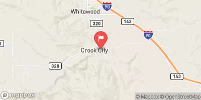
Whitewood Cr Above Whitewood,Sd Realtime Data
WHITEWOOD CR ABOVE WHITEWOOD,SD
Realtime Data • Report • Conditions
3
Discharge (cfs)
0.3
Gauge Height (ft)
USGS 06436180
Streamflow discharge was last observed at 3 cfs, and a gauge height of 0.27 feet.
With the
% decrease since yesterday,
the streamflow average over the past 10 days is 3 .
Weather today, Tomorrow,
The stream gauge monitors the water levels and provides data to water management agencies. The creek has several tributaries including Bear Butte Creek and Spearfish Creek, which can affect the flow. The hydrology of the creek is influenced by seasonal trends, with higher flows in the spring due to snowmelt and lower flows in the summer and fall. There are no significant dams on the creek. An interesting fact about Whitewood Creek is that it runs through the Black Hills, a region known for its gold mining history.
October 22, 2026
| Elevation | 3,681.0 ft |
| Last Updated | |
| Gage height, ft | 0.27 ft |
| Stream water level elevation above NAVD 1988, in ft | 3677.39 ft |
| Streamflow, ft³/s | 3.42 ft3/s |
| Percent of Normal | 25% |
| Year Over Year Average | 14 cfs |
| 24hr Flow Prediction | cfs |
| Maximum Recorded | 1,160 cfs |
| Geolocation | 44.44, -103.63 |
 Continue with Snoflo Premium