

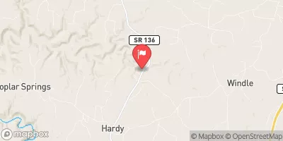
Roaring River Near Hilham, Tn Realtime Data
ROARING RIVER NEAR HILHAM, TN
Realtime Data • Report • Conditions
7
Discharge (cfs)
10.8
Gauge Height (ft)
USGS 03418000
Streamflow discharge was last observed at 7 cfs, and a gauge height of 10.75 feet.
With the
% decrease since yesterday,
the streamflow average over the past 10 days is 7 .
Weather today, Tomorrow,
The river is primarily fed by groundwater and rainfall, and there are no major dams or reservoirs on the river. Seasonal trends show that the river generally has higher flows in the winter and spring months due to increased rainfall and snowmelt. Interesting facts about the hydrology of the Roaring River include its unique karst topography, which leads to sinkholes and underground drainage systems, and its designation as a Scenic River by the state of Tennessee due to its natural beauty and recreational opportunities.
October 24, 2026
| Elevation | 871.0 ft |
| Last Updated | |
| Gage height, ft | 10.75 ft |
| Precipitation, total, in | 0.0 in |
| Streamflow, ft³/s | 6.98 ft3/s |
| Percent of Normal | 51% |
| Year Over Year Average | 14 cfs |
| 24hr Flow Prediction | cfs |
| Maximum Recorded | 6,710 cfs |
 Continue with Snoflo Premium