Summary
Maximum discharge along the river is currently at the Roaring River Near Roaring River reporting a streamflow rate of 367 cfs. However, the streamgauge with the highest stage along the river is the Roaring River Near Hilham with a gauge stage of 11.95 ft. This river is monitored from 2 different streamgauging stations along the Roaring River, the highest being situated at an altitude of 965 ft, the Roaring River Near Roaring River.
15-Day Weather Outlook
River Streamflow Levels
| Streamgauge | Streamflow | Gauge Stage | 24hr Change (%) | % Normal | Minimum (cfs) | Maximum (cfs) | Air Temp | Elevation |
|---|---|---|---|---|---|---|---|---|
|
Roaring River Near Roaring River
USGS 02112120 |
367 cfs | 2.24 ft | ||||||
|
Roaring River Near Hilham
USGS 03418000 |
64 cfs | 11.95 ft | -4.36 |
Seasonal Discharge Comparison
Maximum Streamflow Discharge
Streamflow Elevation Profile
The Roaring River is a right tributary of the Swan River in Manitoba, Canada.
Regional Streamflow Levels
6
Cubic Feet Per Second
13
Cubic Feet Per Second
25
Cubic Feet Per Second
19
Cubic Feet Per Second
River Runs
-
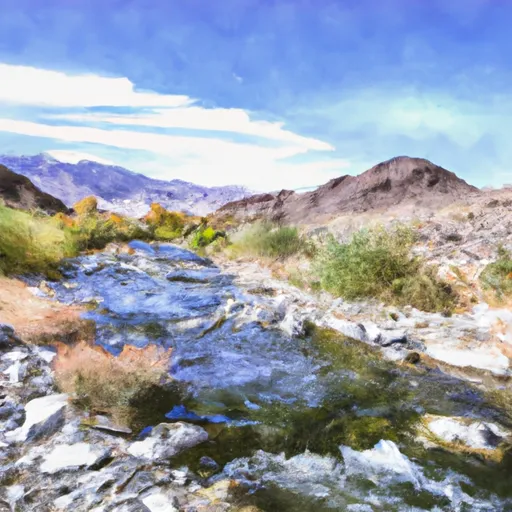 Confluence Of Lone Pine And Hamilton (Deer) Creeks (Boundary Extend 0.25 Mile On Each Side Of River) To Wildernes Boundary
-
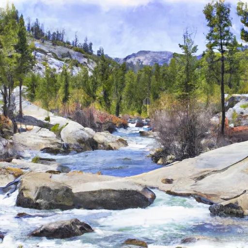 Lake 10,559 (Boundary Extend 0.25 Mile On Each Side Of River) To Wilderness Boundary Just Below Tokopah Falls
-
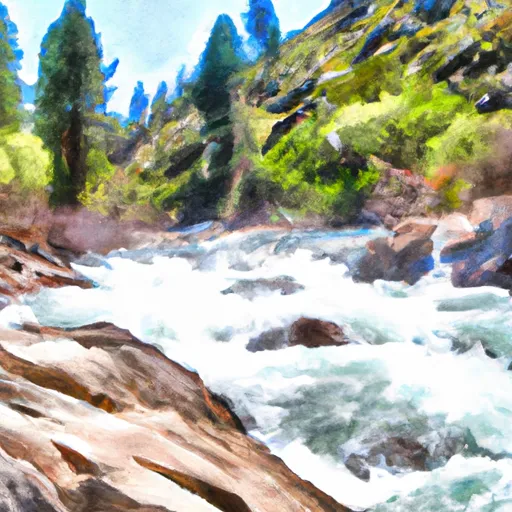 Wilderness Boundary Just Below Tokopah Falls (Boundary Extend 0.25 Mile On Each Side Of River) To Confluence With The Middle Fork Kaweah River
-
 Atwell Mill Trail Bridge At ~5,800 Ft (Boundary Extends 0.25 Mile On Each Side Of The River.) To Boundary Of Sequoia & Kings Canyon National Park
-
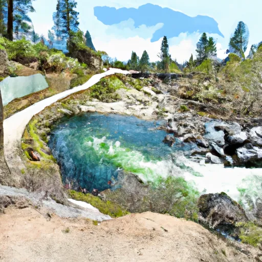 8,000 Ft Contour Line (Boundary Extend 0.25 Mile On Each Side Of River) To The Atwell Mill Trail Bridge At ~ 5,800 Ft
-
 9,000 Ft Contour Line (Boundary Extend 0.25 Mile On Each Side Of River) To 8,000 Ft Contour Line
