 Get More With Premium


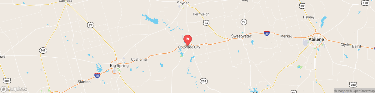
COLORADO RV AT COLORADO CITY
USGS 08121000
FLOOD WATCH
* WHAT...Flash flooding caused by excessive rainfall continues to be possible. * WHERE...Portions of southwest and western Texas, including the following areas, in southwest Texas, Central Brewster, Chinati Mountains, Chisos Basin, Davis Mountains, Davis Mountains Foothills, Lower Brewster County, Marfa Plateau, Pecos, Presidio Valley and Terrell. In western Texas, Borden, Crane, Dawson, Ector, Glasscock, Howard, Martin, Midland, Mitchell, Reagan, Reeves County Plains, Scurry, Upton and Ward. * WHEN...Through Friday evening. * IMPACTS...Excessive runoff may result ...

Today, Scattered showers and thunderstorms, then showers likely and possibly a thunderstorm after 4am. Mostly cloudy, with a low around 69. Southeast wind 5 to 10 mph. Chance of precipitation is 70%. New rainfall amounts between a quarter and half of an inch possible.
Tomorrow, Scattered showers and thunderstorms, then showers likely and possibly a thunderstorm after 4am. Mostly cloudy, with a low around 69. Southeast wind 5 to 10 mph. Chance of precipitation is 70%. New rainfall amounts between a quarter and half of an inch possible.
5-Day Forecast
Long Term Forecast
16-Day Forecast
