Flood Watch
Until 2026-10-22T20:17:58-06:00
•
National Weather Service
The Flood Watch has been cancelled and is no longer in effect.
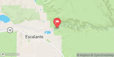
ESCALANTE RIVER NEAR ESCALANTE, UT
Realtime Data
•
Report
•
Conditions
263
Discharge (cfs)
4.0
Gauge Height (ft)
Streamflow discharge was last observed at 263 cfs, and a gauge height of 3.97 feet.
With the
% decrease since yesterday,
the streamflow average over the past 10 days is 42 .
Weather today, Tomorrow,
The river is fed by several tributaries, including Boulder Creek and Choprock Creek, with a total drainage area of 4,000 square miles. There are no dams on the river. The flow is highly seasonal, with the highest flows occurring in spring due to snowmelt and monsoon rains in summer. During dry periods, the river may run dry. One interesting fact is that the Escalante River is one of the few remaining free-flowing rivers in the western United States.


 Continue with Snoflo Premium