

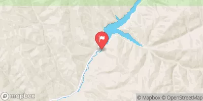
Lost Creek Near Croyden, Utah Realtime Data
LOST CREEK NEAR CROYDEN, UTAH
Realtime Data • Report • Conditions
8
Discharge (cfs)
1.2
Gauge Height (ft)
USGS 10132500
Streamflow discharge was last observed at 8 cfs, and a gauge height of 1.16 feet.
With the
% decrease since yesterday,
the streamflow average over the past 10 days is 8 .
Weather today, Tomorrow,
The flow is primarily fed by snowmelt and rainfall, with some contributions from groundwater. Seasonal trends show high flows in the spring due to snowmelt and lower flows in the summer and fall. There are no major dams or specific tributaries that significantly impact the flow of Lost Creek. Interesting facts about the hydrology of the area include the presence of hot springs nearby and the potential for flash flooding during heavy rain events.
October 22, 2026
| Elevation | 5,826.0 ft |
| Last Updated | |
| Gage height, ft | 1.16 ft |
| Precipitation, total, in | 0.0 in |
| Streamflow, ft³/s | 7.78 ft3/s |
| Percent of Normal | 101% |
| Year Over Year Average | 8 cfs |
| 24hr Flow Prediction | cfs |
| Maximum Recorded | 385 cfs |
| Geolocation | 41.18, -111.40 |
 Continue with Snoflo Premium