

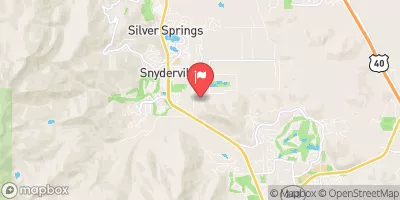
Mcleod Creek Near Park City, Ut Realtime Data
MCLEOD CREEK NEAR PARK CITY, UT
Realtime Data • Report • Conditions
6
Discharge (cfs)
6.2
Gauge Height (ft)
USGS 10133600
Streamflow discharge was last observed at 5 cfs, and a gauge height of 6.18 feet.
With the
% decrease since yesterday,
the streamflow average over the past 10 days is 6 .
Weather today, Tomorrow,
The stream is fed by snowmelt and precipitation, with potential tributaries not specified. Seasonally, flow is highest in the spring and decreases during the summer months. Interestingly, the McLeod Creek watershed is home to over 1,000 species of plants and animals, including the rare Great Basin Spadefoot Toad. The hydrology of the area is also impacted by the presence of ski resorts and their snowmaking activities. Overall, the McLeod Creek stream gauge provides valuable information for water resource management in the region.
October 7, 2026
| Elevation | 6,605.0 ft |
| Last Updated | |
| Gage height, ft | 6.18 ft |
| Streamflow, ft³/s | 5.26 ft3/s |
| Percent of Normal | 71% |
| Year Over Year Average | 8 cfs |
| 24hr Flow Prediction | cfs |
| Maximum Recorded | 109 cfs |
| Geolocation | 40.69, -111.53 |
 Continue with Snoflo Premium