

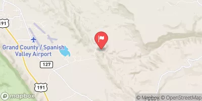
Mill Creek At Sheley Tunnel, Near Moab, Ut. Realtime Data
MILL CREEK AT SHELEY TUNNEL, NEAR MOAB, UT.
Realtime Data • Report • Conditions
11
Discharge (cfs)
3.6
Gauge Height (ft)
USGS 09183500
Streamflow discharge was last observed at 11 cfs, and a gauge height of 3.60 feet.
With the
% decrease since yesterday,
the streamflow average over the past 10 days is 5 .
Weather today, Tomorrow,
The stream gauge is operated by the US Geological Survey and provides data on water flow to water managers, researchers, and the public. The flow of Mill Creek is influenced by snowmelt and precipitation patterns, with peak flow typically occurring in the spring and early summer. There are no major dams on Mill Creek, but several small diversions are used for irrigation. Interestingly, the Mill Creek watershed is home to several rare plant and animal species, including the Bonneville cutthroat trout and the white-tailed prairie dog.
October 14, 2026
| Elevation | 5,403.0 ft |
| Last Updated | |
| Gage height, ft | 3.6 ft |
| Streamflow, ft³/s | 10.6 ft3/s |
| Percent of Normal | 211% |
| Year Over Year Average | 5 cfs |
| 24hr Flow Prediction | cfs |
| Maximum Recorded | 193 cfs |
| Geolocation | 38.48, -109.40 |
 Continue with Snoflo Premium