

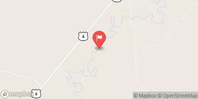
Sevier River Near Lynndyl, Ut Realtime Data
SEVIER RIVER NEAR LYNNDYL, UT
Realtime Data • Report • Conditions
27
Discharge (cfs)
2.5
Gauge Height (ft)
Streamflow discharge was last observed at 27 cfs, and a gauge height of 2.53 feet.
With the
% decrease since yesterday,
the streamflow average over the past 10 days is 25 .
Weather today, Tomorrow,
The river is primarily fed by snowmelt from the surrounding mountains, and there are no major tributaries or dams in the immediate area. Seasonally, the river experiences high flows in the spring due to snowmelt, followed by lower flows in the summer and fall months. Interestingly, the Sevier River flows north, which is relatively rare for rivers in the United States. The hydrology of the Sevier River is important for understanding water resources in the region and is of particular interest to those studying Utah's unique geography and climate.
October 22, 2026
| Elevation | 4,673.0 ft |
| Last Updated | |
| Gage height, ft | 2.53 ft |
| Streamflow, ft³/s | 27.4 ft3/s |
| Percent of Normal | 64% |
| Year Over Year Average | 43 cfs |
| 24hr Flow Prediction | cfs |
| Maximum Recorded | 2,780 cfs |
 Continue with Snoflo Premium