

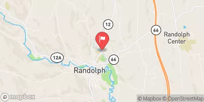
Ayers Brook At Randolph, Vt Realtime Data
AYERS BROOK AT RANDOLPH, VT
Realtime Data • Report • Conditions
81
Discharge (cfs)
3.3
Gauge Height (ft)
Streamflow discharge was last observed at 81 cfs, and a gauge height of 3.33 feet.
With the
% decrease since yesterday,
the streamflow average over the past 10 days is 12 .
Weather today, Tomorrow,
The flow is primarily fed by surface water runoff and groundwater discharge. There are no significant tributaries or dams that affect the flow in Ayers Brook. The water flow in Ayers Brook is typically low during the summer months and high during the spring months due to snowmelt. The hydrology of Ayers Brook is interesting because it is located in an area with high precipitation and it is heavily influenced by the surrounding topography. The brook is also an important habitat for various aquatic species such as brook trout, and it is a popular destination for recreation activities such as fishing and canoeing.
October 14, 2026
| Elevation | 641.0 ft |
| Last Updated | |
| Gage height, ft | 3.33 ft |
| Streamflow, ft³/s | 80.5 ft3/s |
| Percent of Normal | 670% |
| Year Over Year Average | 12 cfs |
| 24hr Flow Prediction | cfs |
| Maximum Recorded | 2,100 cfs |
| Geolocation | 43.93, -72.66 |
 Continue with Snoflo Premium