

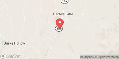
East Branch Passumpsic River Near East Haven, Vt Realtime Data
EAST BRANCH PASSUMPSIC RIVER NEAR EAST HAVEN, VT
Realtime Data • Report • Conditions
17
Discharge (cfs)
2.0
Gauge Height (ft)
USGS 01133000
Streamflow discharge was last observed at 17 cfs, and a gauge height of 1.97 feet.
With the
% decrease since yesterday,
the streamflow average over the past 10 days is 17 .
Weather today, Tomorrow,
The river is fed by a variety of sources, including precipitation, snowmelt, and groundwater. There are no significant tributaries or dams in the immediate vicinity of the streamgauge. Flow rates in the river tend to be highest during the spring months due to snowmelt, and can be impacted by heavy rainfall events throughout the year. Interesting facts about this location include the presence of fish species such as brook trout and rainbow trout, as well as the potential for recreational activities such as fishing and kayaking.
October 9, 2026
| Elevation | 947.0 ft |
| Last Updated | |
| Gage height, ft | 1.97 ft |
| Streamflow, ft³/s | 16.7 ft3/s |
| Percent of Normal | 30% |
| Year Over Year Average | 57 cfs |
| 24hr Flow Prediction | cfs |
| Maximum Recorded | 2,250 cfs |
| Geolocation | 44.63, -71.90 |
 Continue with Snoflo Premium