

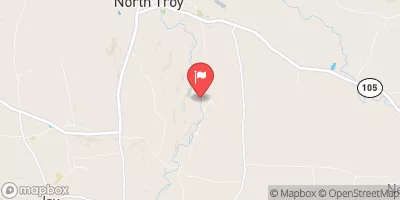
Missisquoi River Near North Troy, Vt Realtime Data
MISSISQUOI RIVER NEAR NORTH TROY, VT
Realtime Data • Report • Conditions
38
Discharge (cfs)
1.2
Gauge Height (ft)
Streamflow discharge was last observed at 38 cfs, and a gauge height of 1.23 feet.
With the
% decrease since yesterday,
the streamflow average over the past 10 days is 38 .
Weather today, Tomorrow,
The river is primarily fed by precipitation and snowmelt, and its flow is heavily influenced by seasonal patterns. During the spring, when snow and ice melt, the river experiences high water flow rates. The river is a major tributary to Lake Champlain and is known for its impressive watersheds. The river flows through several towns, including North Troy, and has been used for hydroelectric power generation. One interesting fact about the river is that it has a high level of biodiversity, with numerous species of fish and other aquatic life present.
October 9, 2026
| Elevation | 598.0 ft |
| Last Updated | |
| Gage height, ft | 1.23 ft |
| Streamflow, ft³/s | 38.3 ft3/s |
| Percent of Normal | 42% |
| Year Over Year Average | 93 cfs |
| 24hr Flow Prediction | cfs |
| Maximum Recorded | 9,460 cfs |
 Continue with Snoflo Premium