

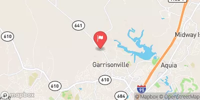
Aquia Creek Near Garrisonville, Va Realtime Data
AQUIA CREEK NEAR GARRISONVILLE, VA
Realtime Data • Report • Conditions
2
Discharge (cfs)
0.4
Gauge Height (ft)
USGS 01660400
Streamflow discharge was last observed at 2 cfs, and a gauge height of 0.44 feet.
With the
% decrease since yesterday,
the streamflow average over the past 10 days is 3 .
Weather today, Tomorrow,
The main constituents of the flow are precipitation, groundwater, and surface runoff. There are no significant tributaries or dams on this section of Aquia Creek. Seasonal trends show that flow is highest in the spring due to snowmelt and precipitation, and lowest in the summer and fall. As for quirky facts, the Aquia Creek was once used to transport tobacco and other goods from the interior of Virginia to the Chesapeake Bay. Today, it is a popular spot for fishing and boating.
October 9, 2026
| Elevation | 121.0 ft |
| Last Updated | |
| Gage height, ft | 0.44 ft |
| Streamflow, ft³/s | 1.52 ft3/s |
| Percent of Normal | 41% |
| Year Over Year Average | 4 cfs |
| 24hr Flow Prediction | cfs |
| Maximum Recorded | 2,750 cfs |
| Geolocation | 38.49, -77.43 |
 Continue with Snoflo Premium