

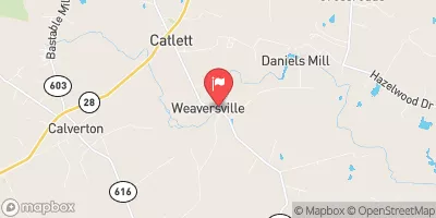
Cedar Run Near Catlett, Va Realtime Data
CEDAR RUN NEAR CATLETT, VA
Realtime Data • Report • Conditions
116
Discharge (cfs)
2.8
Gauge Height (ft)
USGS 01656000
Streamflow discharge was last observed at 58 cfs, and a gauge height of 2.79 feet.
With the
% decrease since yesterday,
the streamflow average over the past 10 days is 106 .
Weather today, Tomorrow,
The stream is a tributary of the Occoquan River and is fed by several smaller tributaries. The flow of water in Cedar Run varies by season, with the highest flows occurring during the spring when snowmelt and rain increase the volume of water in the stream. There are no notable dams along Cedar Run. Interesting facts about the hydrology of Cedar Run include its historical use for mills and the important role it plays in providing habitat for aquatic wildlife.
October 15, 2026
| Elevation | 205.0 ft |
| Last Updated | |
| Gage height, ft | 2.79 ft |
| Streamflow, ft³/s | 58.1 ft3/s |
| Percent of Normal | 1,076% |
| Year Over Year Average | 11 cfs |
| 24hr Flow Prediction | cfs |
| Maximum Recorded | 6,960 cfs |
| Geolocation | 38.64, -77.63 |
 Continue with Snoflo Premium