Signup for free to access forecast


Continue with a free account

Already Have an Account?


Snoflo Premium

Get unlimited access to all our content

Plus your first week free!

Have a Promo Code?


Already Have an Account?

Signup for a Basic Account


HOGUE CREEK NEAR HAYFIELD

Weather Forecast


HOGUE CREEK NEAR HAYFIELD

USGS 01613900


SEVERE THUNDERSTORM WARNING
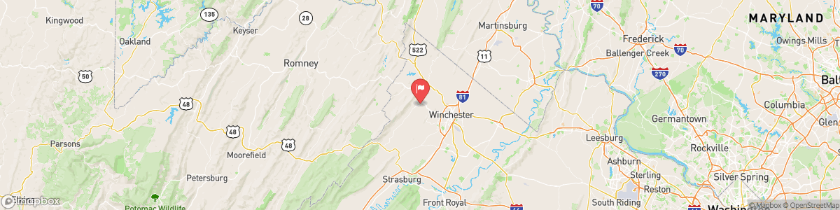
At 232 PM EDT, a severe thunderstorm was located 10 miles northwest of Winchester, moving east at 20 mph. HAZARD...60 mph wind gusts. SOURCE...Radar indicated. IMPACT...Damaging winds will cause some trees and large branches to fall. This could injure those outdoors, as well as damage homes and vehicles. Roadways may become blocked by downed trees. Localized power outages are possible. Unsecured light objects may become projectiles. Locations impacted include... Winchester, Millwood Pike, Brucetown, High View, ...

Today, A slight chance of showers between noon and 2pm, then a slight chance of showers and thunderstorms after 2pm. Patchy fog between 7am and 8am. Otherwise, mostly sunny, with a high near 89. Calm wind becoming southwest 5 to 7 mph in the morning. Chance of precipitation is 20%.


Tomorrow, A slight chance of showers between noon and 2pm, then a slight chance of showers and thunderstorms after 2pm. Patchy fog between 7am and 8am. Otherwise, mostly sunny, with a high near 89. Calm wind becoming southwest 5 to 7 mph in the morning. Chance of precipitation is 20%.


5-Day Forecast


Leave A Review


Submit

Upload an Image


Favorite Limit Reached
OR

Return to the Hogue Creek Near Hayfield Flow Report