

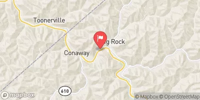
Levisa Fork At Big Rock, Va Realtime Data
LEVISA FORK AT BIG ROCK, VA
Realtime Data • Report • Conditions
192
Discharge (cfs)
3.2
Gauge Height (ft)
Streamflow discharge was last observed at 192 cfs, and a gauge height of 3.20 feet.
With the
% decrease since yesterday,
the streamflow average over the past 10 days is 195 .
Weather today, Tomorrow,
The river is a major source of water for several communities in Virginia and Kentucky. The flow data is provided by various stakeholders, including the USGS and local water authorities. The river is fed by several tributaries, including Pound River and Russell Fork. There are several dams along the river, including the John W. Flannagan Dam. The river experiences seasonal fluctuations in flow, with high flows in the spring and low flows in the summer. Overall, the hydrology of the Levisa Fork at Big Rock, VA is complex and dynamic, making it an interesting subject for students interested in water resources management.
October 16, 2026
| Elevation | 880.0 ft |
| Last Updated | |
| Gage height, ft | 3.2 ft |
| Precipitation, total, in | 0.0 in |
| Streamflow, ft³/s | 192.0 ft3/s |
| Percent of Normal | 275% |
| Year Over Year Average | 70 cfs |
| 24hr Flow Prediction | cfs |
| Maximum Recorded | 20,100 cfs |
| Geolocation | 37.35, -82.20 |
 Continue with Snoflo Premium