

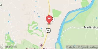
Limestone Branch Near Leesburg, Va Realtime Data
LIMESTONE BRANCH NEAR LEESBURG, VA
Realtime Data • Report • Conditions
1
Discharge (cfs)
0.4
Gauge Height (ft)
Streamflow discharge was last observed at 1 cfs, and a gauge height of 0.44 feet.
With the
% decrease since yesterday,
the streamflow average over the past 10 days is 3 .
Weather today, Tomorrow,
The primary sources of water for the stream include runoff from nearby agricultural and residential areas, as well as groundwater seepage. There are no major tributaries or dams along the stream's path, and the flow rate is typically highest during the spring and fall months when rainfall is more frequent. Interestingly, the Limestone Branch is known for its unusual geology, which includes ancient limestone rock formations that have been shaped by years of water erosion, making it a popular destination for geologists and nature enthusiasts.
October 22, 2026
| Elevation | 228.0 ft |
| Last Updated | |
| Gage height, ft | 0.44 ft |
| Streamflow, ft³/s | 1.3 ft3/s |
| Percent of Normal | 65% |
| Year Over Year Average | 2 cfs |
| 24hr Flow Prediction | cfs |
| Maximum Recorded | 2,280 cfs |
| Geolocation | 39.17, -77.54 |
 Continue with Snoflo Premium