

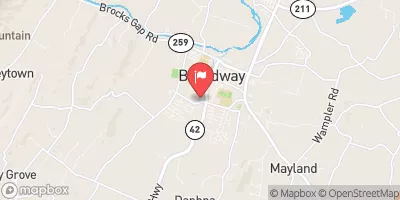
Linville Creek At Broadway, Va Realtime Data
LINVILLE CREEK AT BROADWAY, VA
Realtime Data • Report • Conditions
19
Discharge (cfs)
1.4
Gauge Height (ft)
Streamflow discharge was last observed at 19 cfs, and a gauge height of 1.37 feet.
With the
% decrease since yesterday,
the streamflow average over the past 10 days is 30 .
Weather today, Tomorrow,
The creek is fed by several small tributaries and drains an area of approximately 150 square miles. There are no significant dams along the creek. The flow of the creek is highly dependent on seasonal trends, with higher water levels and flow rates during the spring and summer months due to snowmelt, rainfall, and increased agricultural irrigation. The hydrology of the creek is also influenced by land use practices in the surrounding area, including farming and residential development. Despite its importance for water supply and recreation, the Linville Creek has suffered from pollution in recent years.
October 23, 2026
| Elevation | 1,042.0 ft |
| Last Updated | |
| Gage height, ft | 1.37 ft |
| Streamflow, ft³/s | 19.1 ft3/s |
| Percent of Normal | 156% |
| Year Over Year Average | 12 cfs |
| 24hr Flow Prediction | cfs |
| Maximum Recorded | 4,090 cfs |
| Geolocation | 38.61, -78.80 |
 Continue with Snoflo Premium