

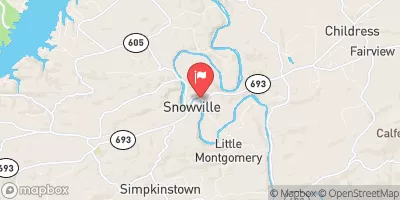
Little River At Graysontown, Va Realtime Data
LITTLE RIVER AT GRAYSONTOWN, VA
Realtime Data • Report • Conditions
116
Discharge (cfs)
1.1
Gauge Height (ft)
Streamflow discharge was last observed at 116 cfs, and a gauge height of 1.14 feet.
With the
% decrease since yesterday,
the streamflow average over the past 10 days is 401 .
Weather today, Tomorrow,
The river is fed by several smaller tributaries and is not dammed. Seasonal trends show that flow is highest during the winter and early spring months and lowest in the late summer and early fall. The hydrology of the Little River is not particularly interesting or quirky, but it does provide important information for local water management and flood control. The primary constituents of the water are naturally occurring minerals and organic matter. Overall, the Little River at Graysontown, VA stream gauge provides essential data for understanding the behavior and health of the river system.
October 20, 2026
| Elevation | 1,839.0 ft |
| Last Updated | |
| Gage height, ft | 1.14 ft |
| Precipitation, total, in | 0.0 in |
| Streamflow, ft³/s | 116.0 ft3/s |
| Percent of Normal | 56% |
| Year Over Year Average | 208 cfs |
| 24hr Flow Prediction | cfs |
| Maximum Recorded | 19,900 cfs |
 Continue with Snoflo Premium